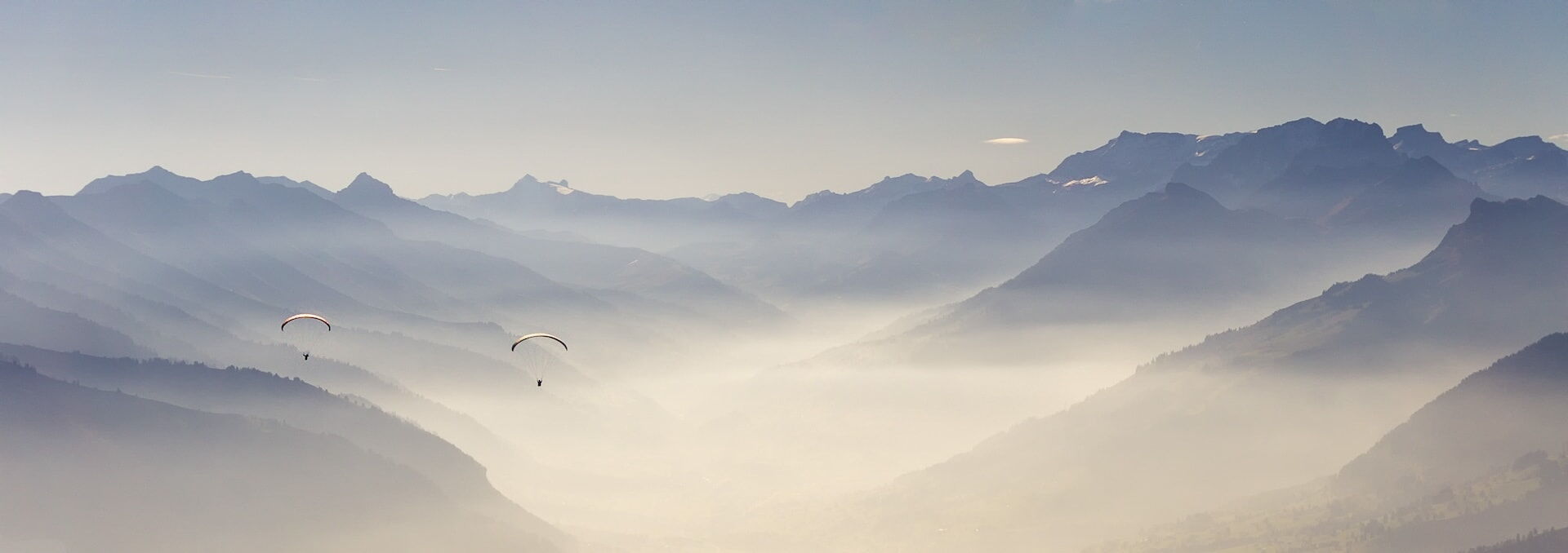
The Hike & Fly race in the heart of the Bernese Oberland
Sat 15 August 2026
Reserve date: 29 August 2026
Registration: from 1 April 2026
— A paragliding event for all pilot levels
Registration
Registration takes place directly via the Hike n Fly Switzerland website. To do so, scan the QR code or click on the button.
- By registering, participants automatically accept the conditions of participation and regulations
- Participants in the Swiss Cup must have a CIVL-ID to register
We look forward to seeing you!

Info
— A hike and fly event by and for paragliding enthusiasts
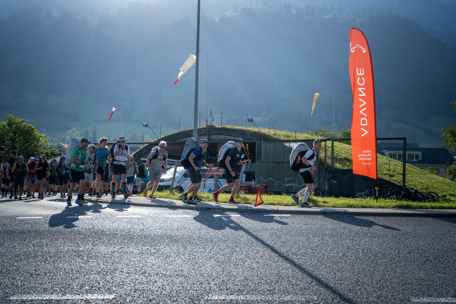
FLYBACK Frutigen is THE hike & fly race in the Frutigen and Kander valleys. An event for pilots of all levels – from flight students to competition pilots, everyone is welcome. Tandem flights are also permitted.
There are separate participant categories for flight students and tandem pilots as well as solo women and men (see registration).
Click on the headings to expand
Saturday, 15 August 2026, from 7:30 am
Alternative date: Saturday, 29 August 2026
A decision on whether or not the competition will take place will be made the day before and announced on the website and via WhatsApp chat.
Hangar Cloud 7 / FFF, Rollstrasse, 3714 Frutigen
Parking spaces are limited. We recommend travelling by public transport (Frutigen bus stop, Widigasse, directly in front of the hangar).
- Solo women
- Solo men
- Tandem
- Flying students
A maximum of 60 pilots can participate.
- Registration and payment are done directly via the live tracking system of Hike n Fly Switzerland
- You will receive immediate confirmation of your registration by e-mail
- Once you have registered, you will appear on the start list
The starting fee is CHF 45.00.
The starting fee is paid directly upon registration via the Hike n Fly Switzerland live tracking system.
Payment methods: credit card, PayPal
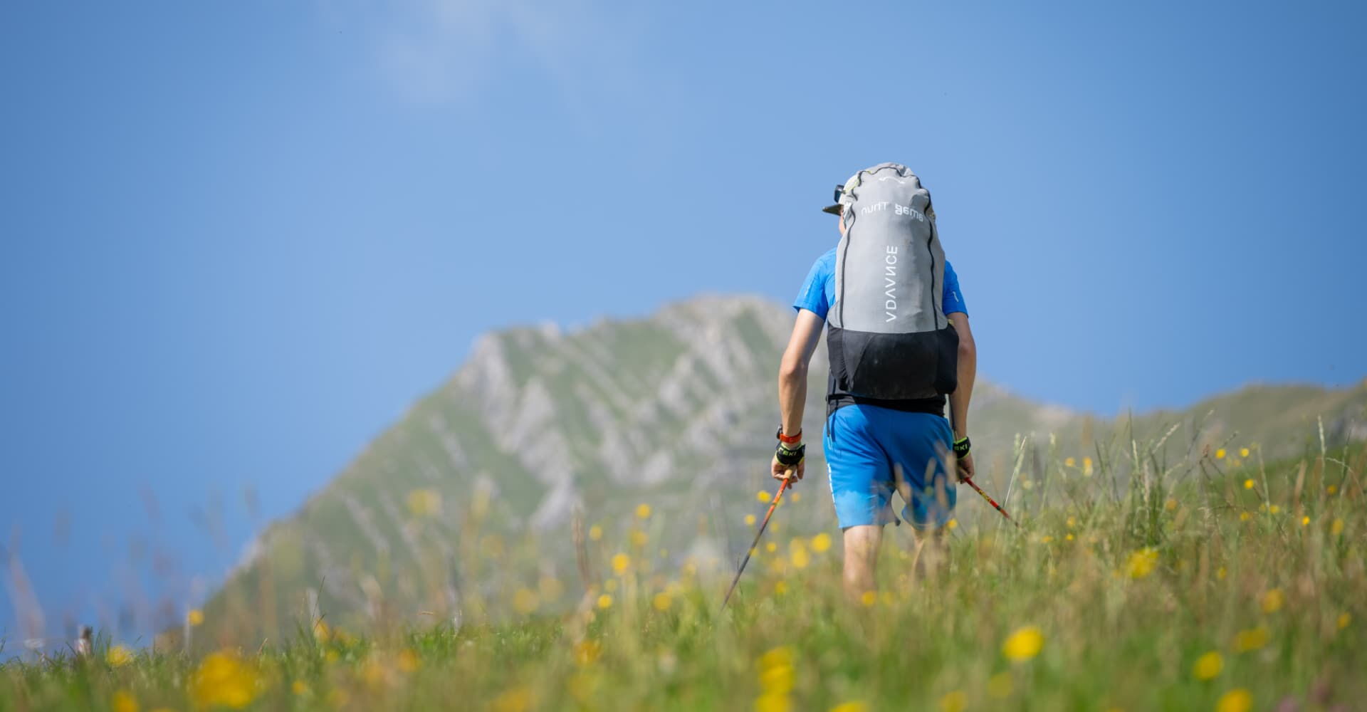
You already have experience of hike&fly tours and are used to taking off from unofficial launch sites and landing in unfamiliar terrain. You also have good physical fitness and experience in the mountains. Further details can be found in the regulations.
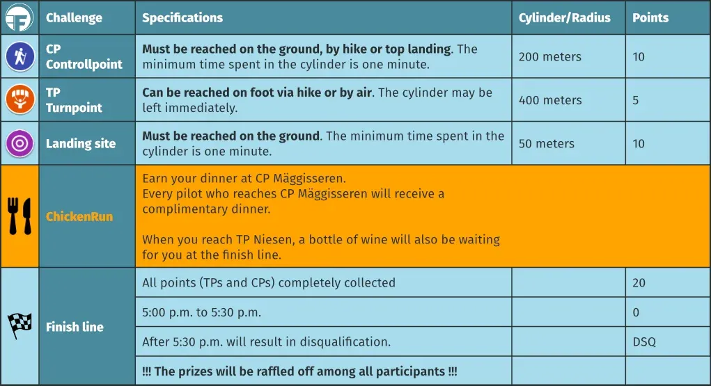
For the competition day, either all or – depending on weather conditions – a selection of control points and waypoints along the route will be defined.
Participants decide for themselves which and how many points they will fly to or hike to on the ground, and in what order.
It is not necessary to reach all control and turning points!
Further information about the terrain can be found under Kandertal hazard map, Reichenbach airspace and wildlife resting areas.
All event dates take place at Hangar Cloud-7 / Freie Flieger Frutigland in Frutigen.
Regulations

Regulations
The regulations must be read by all participants and are automatically accepted upon registration.


Organisational and security concept
The organisational and security concept regulates the organisation of the event and describes the security measures.

Emergency Sheet
Decision matrix and the most important phone numbers.
It is best to keep the emergency sheet with you at all times during the competition.

Airspace
Reichenbach
Airspaces
SHV FSVL

Wildlife
rest areas

Hazard map
Kandertal

CHICKEN RUN
Reach the Mäggisseren turnpoint and earn your dinner. All participants are automatically registered for the Chicken Run.
You can also compete for a bottle of wine at the Niesen turnpoint.
Route
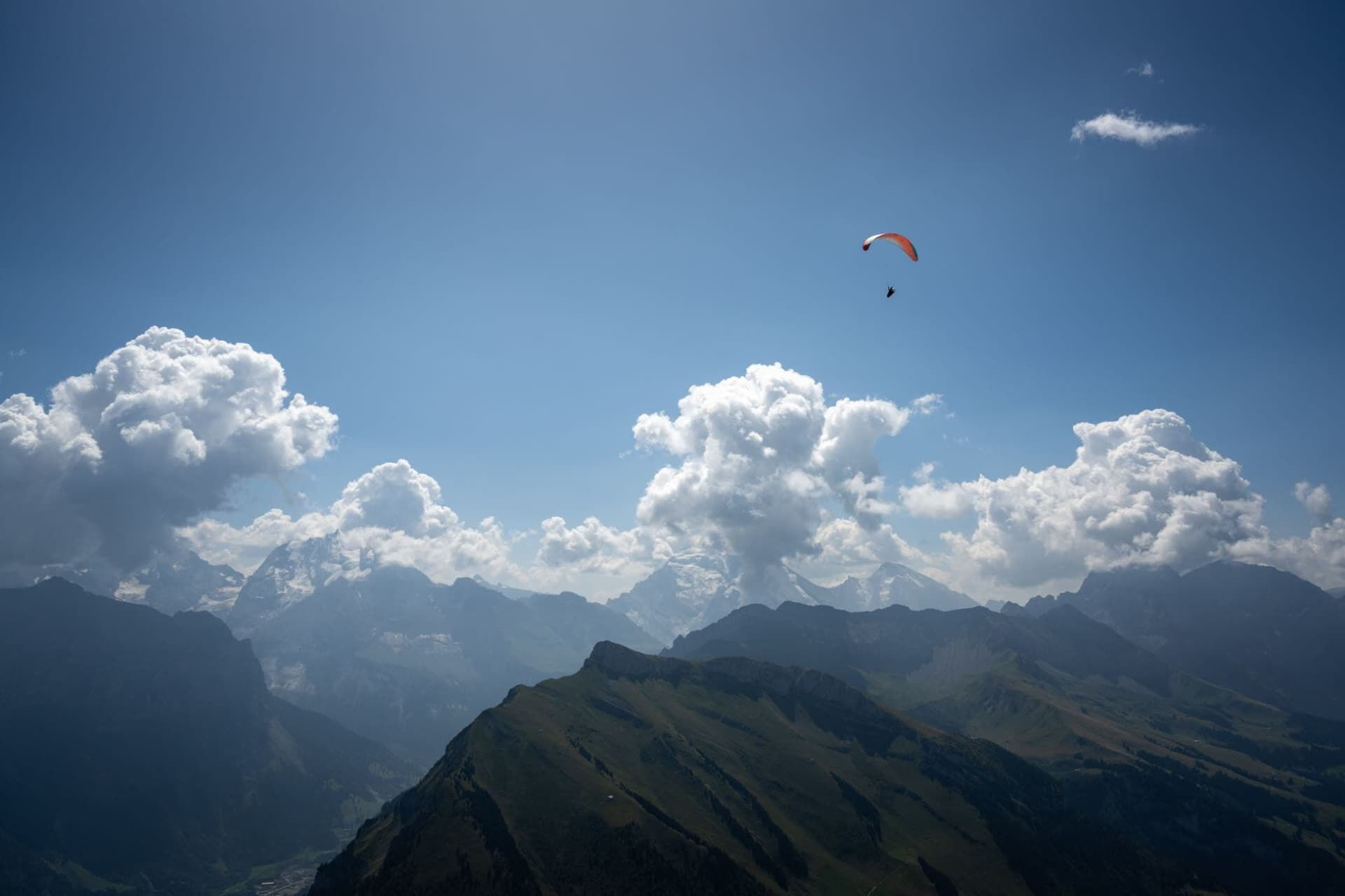
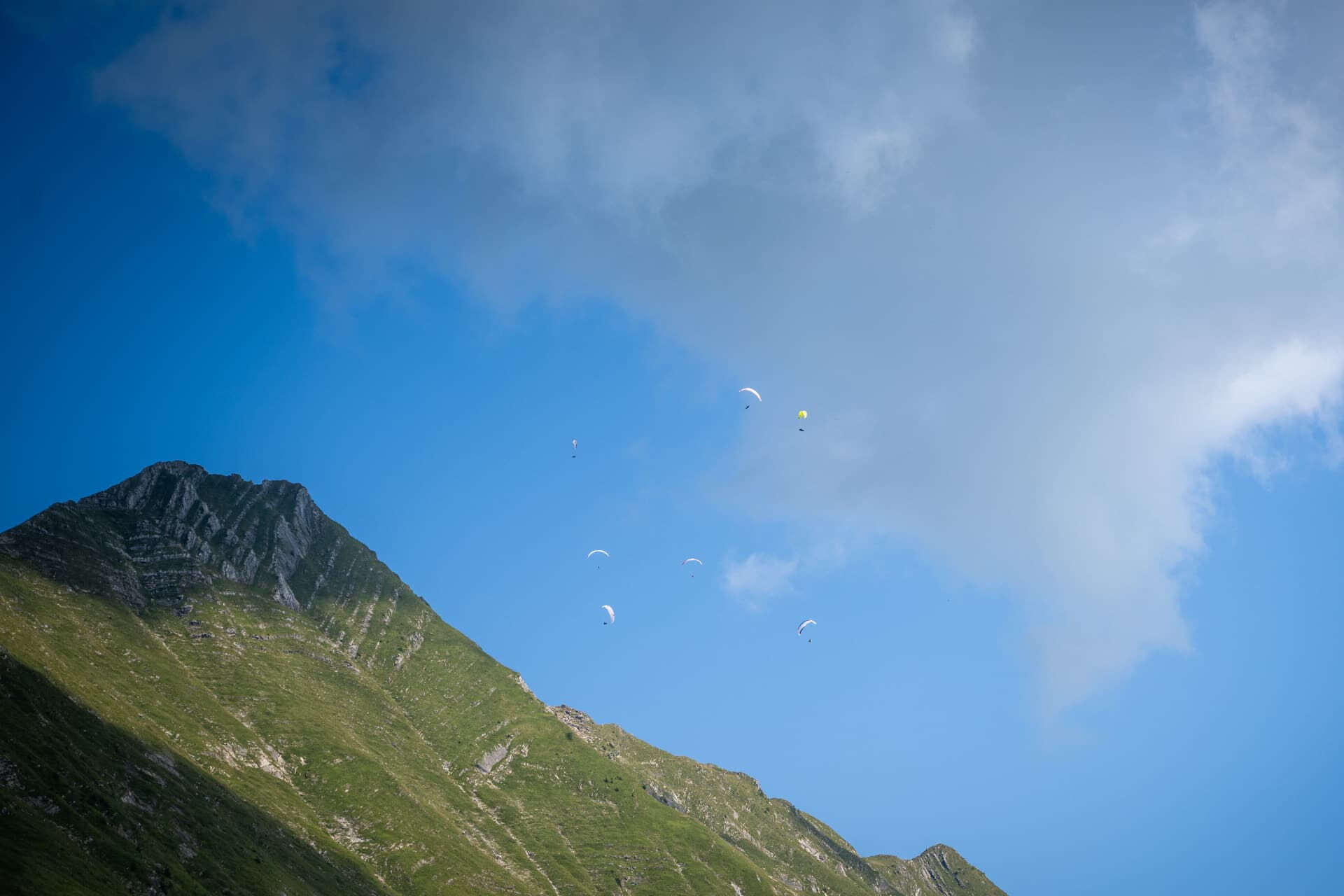
This unique and extremely varied route criss-crosses the beautiful regions of the Frutig Valley and the Kander Valley, continuing on to Adelboden and around Lake Öschinen.
— stunning views are guaranteed!
Each point can only be collected once during the entire race.
Sample route:
Start Hangar – Helgisberg (10) – Mäggisseren (10) – Gunggstand (5) – Standhore (10) – Niesen (5 + Flasche Wein) – Obergehrenen (10) – Gehrihore (5) – Grimer (10) – Ärmigchnubel (10) – Bundstock (5) – Blüemlisalphütte (10) – Fründenhütte (5) – Doldenhornhütte (5) – Allmenalp (5) – Bunderspitz (5) – Trutten (5) – Tellenburg Ruine (5) – Zieleinlauf (10)
Total: 130 points
If the pilot has collected all control and turning points, they receive 20 additional points.
ROUTE LEGEND
Click on the graphic to download (PDF)

Route map
Route points (checkpoints and waypoints) with geo-coordinates and further information – map view.

TPs & CPs 2026
All control points and waypoints available for download as a .zip file (in various file formats). Or directly in the task board.
History
— Rankings and photos from previous years' events
We are once again reminiscing about the FLYBACK Frutigen Hike & Fly events of previous years, enjoying the impressive pictures and impressions, and providing an overview of the respective rankings.
Contact